Korean Spatial Statistics Service Activation Strategy: Focusing on SGIS Case
Conference
65th ISI World Statistics Congress
Format: CPS Abstract - WSC 2025
Keywords: data science, spatial statistics, visualization
Session: CPS 65 - Enhancing Data Access and Privacy Protection in Official Statistics
Wednesday 8 October 4 p.m. - 5 p.m. (Europe/Amsterdam)
Abstract
In the era of data economy, statistical users demand detailed statistics and data that can be directly processed. The Statistical Geographic Information Service(SGIS) of Statistics Korea responds to such demand by aggregating census statistics into sub-region and providing two-track services: web content and data for analysis. Providing sub-regional statistics along with geographical boundaries is a way to increase the value of information, but consideration must be given to respondent privacy. Diversifying service channels according to security levels is a way to balance privacy and service expansion. To enhance user’s the data literacy of spatial statistics, this paper introduces educational program such as web content usage and spatial statistics analysis case studies, and strengthens the promotion of spatial statistics through exhibitions and contest for best practice. In the discussion, we review ways to simplify the procedures for SGIS by benchmarking overseas service cases.
Figures/Tables
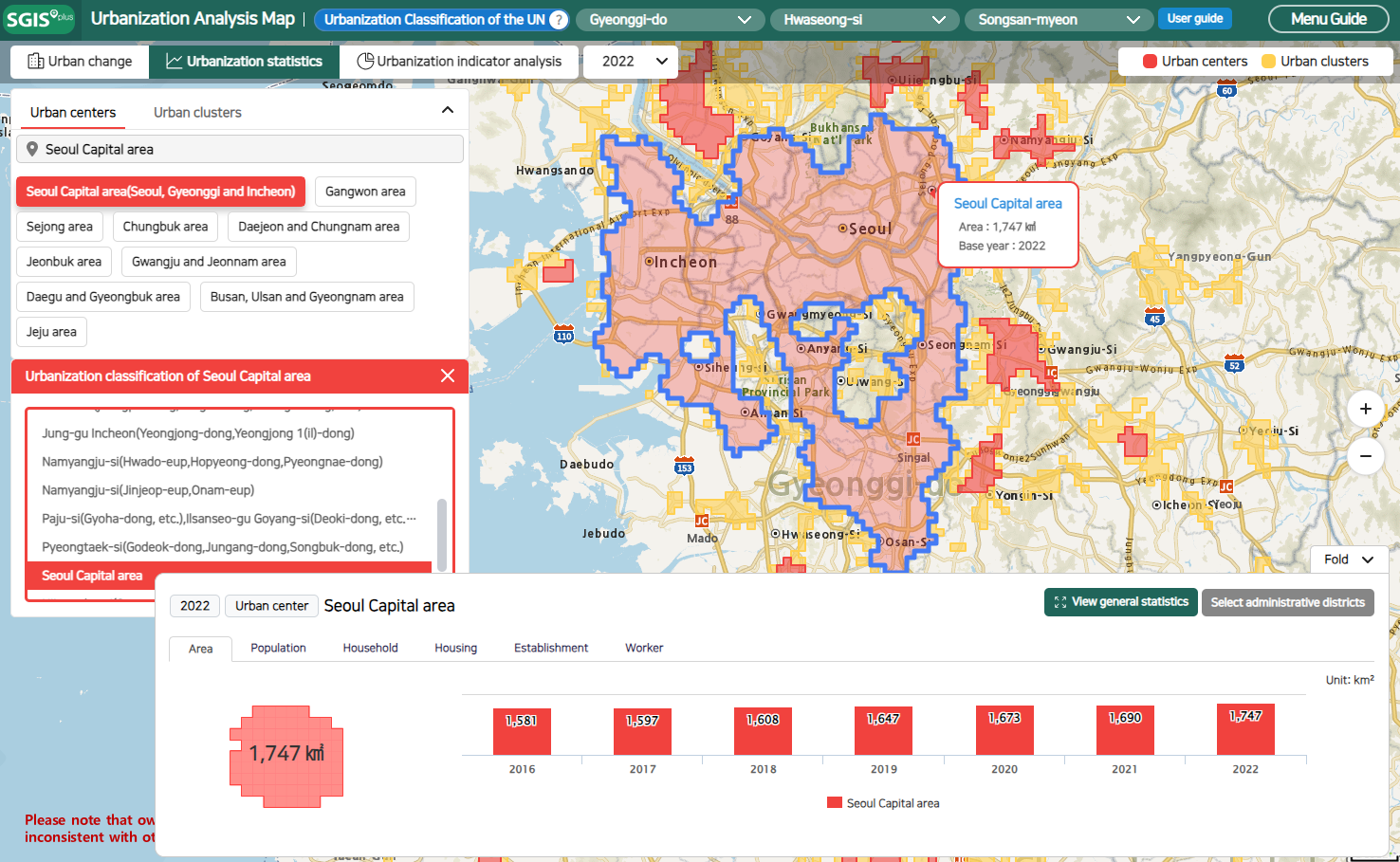
1. Urbanization Analysis Map
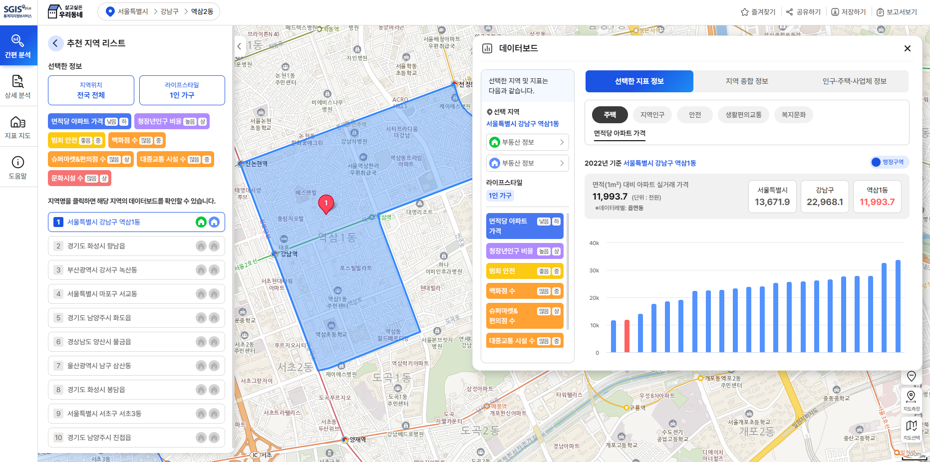
2. Preferred Neighborhood
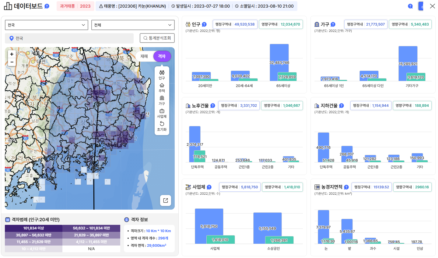
3. Natural Disaster Statistics Map
4. Data Validation Framework Using R

5. Diversification of Data Service Channel

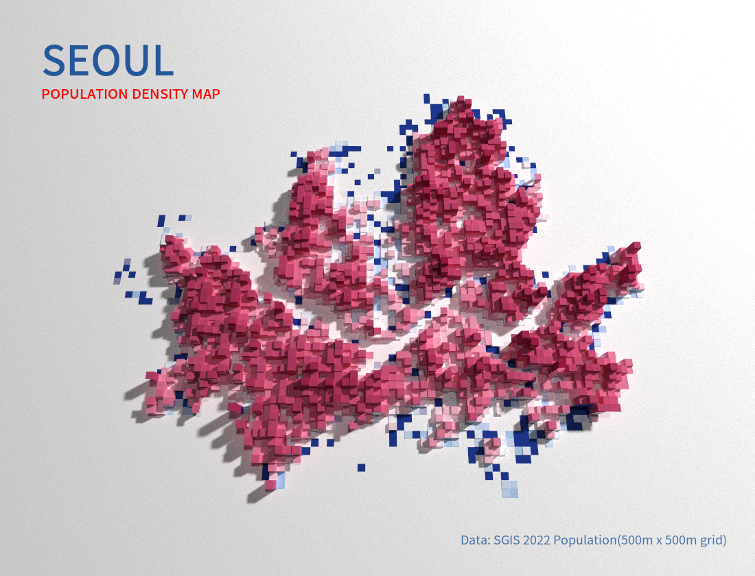
6. 3D Visualization of Seoul Population
